October 10, 2026


A forecast for the town where you parked the car tells you almost nothing about the ridge you are aiming for. Between the valley and the summit there can be several degrees of temperature, a wind that turns from noticeable to unmanageable, and cloud sitting exactly where you had hoped for the view. Reading a UK hill forecast well is not about finding one word to obey. It is about turning a handful of numbers into a picture of the day, and deciding before you set off what would make you shorten the route or turn around.
Most general forecasts are calculated for low ground and populated places. That is useful for the drive to the start, and misleading for everything above the last gate. Look instead for forecasts that give figures for the hills themselves — the Met Office mountain area forecasts, or MWIS for the main upland regions of England, Scotland and Wales.
Read the numbers for the height band you will actually be in. If you are heading for a 900 m summit, a forecast for 600 m is more relevant than the one for the town, and a summit-level figure is more relevant still. If the forecast offers a range, plan for the worse end and be pleasantly surprised.
A 30% chance of rain does not mean it will rain 30% as hard. It is the likelihood that rain will fall at that place during the forecast period. A low percentage is not a promise of dryness, and a high one is not a promise of a washout — rain may arrive late, pass quickly, or fall as a short sharp shower while you are on the descent.
To judge a day properly, read the probability alongside the amount and the timing.
Remember that rain on the hill rarely arrives alone. Wet ground, spray, cold hands and slower progress all come with it.
Walkers tend to worry about rain and get caught out by wind. Sustained wind speed is the general strength of the airflow; gusts are short bursts that can be considerably stronger and are what actually knock you off balance on an exposed path. Always read the gust figure as well as the average.
As a rough guide, many hill walkers find the following useful. Expect it to feel different on a sheltered forest track than on an exposed plateau, and allow for the fact that wind accelerates through cols, over ridges and across open summits.
Direction matters as much as strength. A strong tailwind can help you up a long ridge; the same wind becomes a fight on a return leg, possibly when you are tired. Check which slopes and glens will be sheltered, and note where the wind will be blowing you towards something steep.
Air temperature drops as you climb — roughly one degree Celsius for every 100 m of ascent, often more in a cold snap. On a 1,000 m day that can mean ten degrees colder at the top than at the car park. Add wind, and the temperature your body experiences falls further; the "feels like" or wind chill figure in the forecast is the one worth paying attention to.
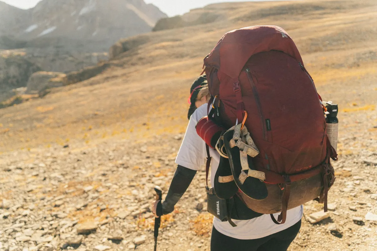
The practical consequences are simple. A still, sunny 8°C can feel mild. The same 8°C in 30 mph wind feels genuinely cold, and if you are damp as well, you lose heat quickly. Pack a warm layer and a windproof shell even when the valley forecast looks kind, and eat and drink before you get cold rather than after.
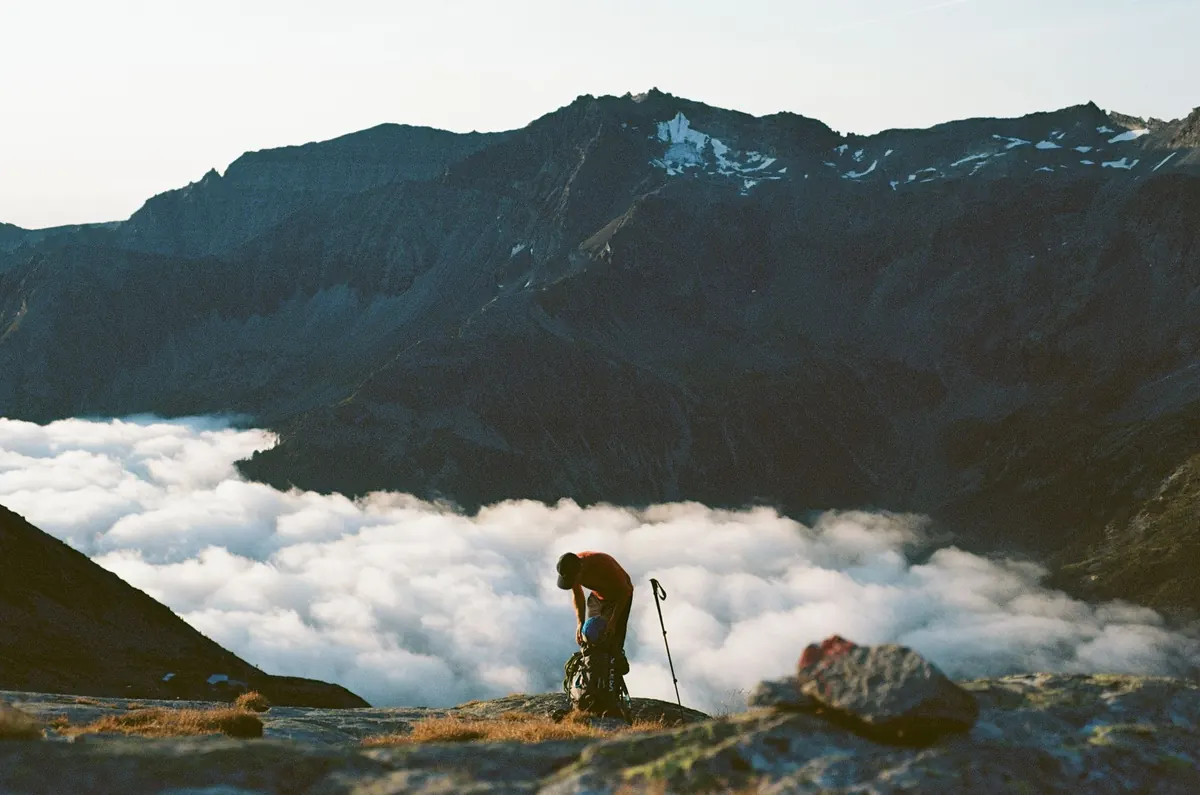
Hill forecasts often give a cloud base — the height at which the cloud sits — or a visibility figure in metres. If the cloud base is forecast below your highest point, expect to spend part of the day inside it, in mist where you can see perhaps 30 to 100 m.
That changes the nature of the day. Paths become harder to follow, navigation takes longer, and the fantastic view you were walking for may not appear. It does not make a walk impossible, but it means you should be confident with a map and compass rather than relying on being able to see the way.
The point of reading a forecast is to make a decision in advance, while you are still warm, dry and thinking clearly. A simple routine helps.
Being willing to abandon a plan is not failure. It is the skill that separates an uncomfortable day from a genuinely risky one, and it gets easier with practice.
Check the hill forecast for your highest point, not the town. Note four things: the gust speed, the cloud base, the total rainfall expected and the temperature with wind chill. Compare them with the conditions you said would change your plan, then look out of the window and check the actual weather over the hills you can see.
Take the extra layer, the waterproofs and the map, even when the forecast looks settled. Weather on UK hills changes faster than any forecast can capture, and the best-equipped walker is usually the one having the better day.
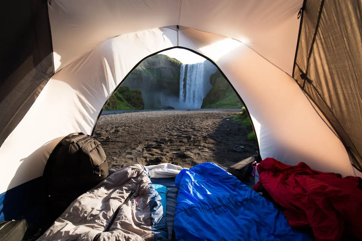
Photo: Lukas Schulz / Pexels
Explore the path less travelled.
Copyright © 2026 Sable Path. All rights reserved. Sable Path.