October 10, 2026



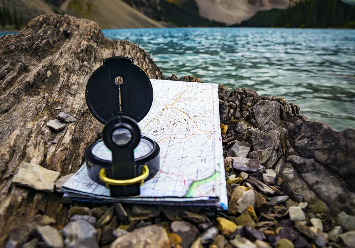
Fog on a moor does something particular to your sense of direction. A path you were sure of disappears, sound flattens, and every tussock looks like the one you passed ten minutes ago. The good news is that you do not need perfect visibility to walk a safe line. You need a map, a compass and a routine that you trust enough to follow even when your instincts are arguing. Here is how to keep moving accurately when the cloud comes down.
Before visibility drops, or at the car park, spread the map out and plan the day in legs. A leg is a section between two clear points: a bridge, a wall corner, a stream junction. Write down the bearing, distance and likely time for each leg. Note any handrails — a fence, a wall, a stream, a forest edge — that you can follow when the map and ground get hard to match. Mark an escape route or two: if the weather turns, which way gets you back to a track or a road? In fog, you will not want to invent a plan. You will want to read one. Keep the map in a waterproof case and the compass on a lanyard around your neck, not buried in a rucksack pocket.
A bearing is simply the direction you want to walk, measured in degrees. With a baseplate compass, the sequence is always the same.
In fog, do not try to walk with the compass in your hand for miles. Take a bearing, sight on a nearby feature — a boulder, a tussock, a patch of erosion — walk to it, and repeat. It feels slow. It is faster than wandering.
If your target is a stream junction or a fence corner, deliberately aim a few degrees to one side. You will hit the handrail — the stream or fence — and know exactly which way to turn. Aiming straight at a small point in fog often means missing it and not knowing whether you are short, long, left or right.
When you cannot see distance, you have to measure it. Pacing is the most reliable tool. On flat, easy ground, count double paces — every time your right foot lands, for example. Most adults find that 100 metres takes somewhere around 60 to 70 double paces, but your own count is what matters. Calibrate it on a known 100-metre stretch, then check it again on rough ground. Bog, heather, tussocks and uphill ground will shorten your stride, so you will need more paces for the same distance.
Timing works alongside pacing. On easy moorland paths, a common planning speed is about four kilometres per hour, but rough ground, gates, bog and height gain all slow you down. If you have walked for twenty minutes and counted the paces for 800 metres, but your map says the leg is 1.2 kilometres, something is wrong. Stop. Check the map, the compass and your surroundings. Do not keep walking in the hope that it will sort itself out.
A handrail is any linear feature you can follow. A wall, a fence, a stream, a ridgeline, the edge of a plantation — in fog, these are worth more than any clever bearing. If you can follow a handrail to a known point, do it. Save the compass work for the open stretches.
A collecting feature is something you expect to pass on the way: a small tarn, a stream bend, a gate, a cairn. Tick them off as you go. A catching feature is a bigger feature beyond your target that will stop you if you overshoot: a road, a river, a steep drop. In fog you may not see it until you are close, but knowing it is there helps you decide when to stop and search.
Attack points are also useful. If your target is a small cairn on a featureless slope, first navigate to a larger, easier feature nearby — a stream junction, a wall corner — then take a short, precise bearing to the cairn. Short legs with clear end points beat long, hopeful ones.
Use the same sequence every time. It keeps you calm and makes errors obvious.
Fog rewards patience. Plan short legs, use handrails where you can, and treat the compass as a tool you check often rather than once. Practise pacing and bearings on a clear day so that the routine is automatic when you cannot see. Carry a spare compass if you have one, keep the map dry, and tell someone where you are going and when you expect to be back. If the cloud is down and your navigation feels uncertain, the safest move is usually to stop, work out exactly where you are, and choose a simple line to a known feature. Slowly and surely beats fast and lost.
Photo: JoshuaWoroniecki / Pixabay
Explore the path less travelled.
Copyright © 2026 Sable Path. All rights reserved. Sable Path.